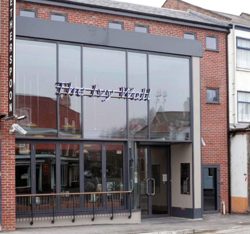
The Ivy Wall
phone
01775 719770
location_on
18–19 New Road, Spalding, Lincolnshire, PE11 1DQ
Get directions to The Ivy Wall
Opening Times
Monday
8:00am - 12:00am
Tuesday
8:00am - 12:00am
Wednesday
8:00am - 12:00am
Thursday
8:00am - 12:00am
Friday
8:00am - 1:00am
Saturday
8:00am - 1:00am
Sunday
8:00am - 12:00am
Facilities
- wifiWifi
- tvTV Screens
- deckLicensed Outside Area
- baby_changing_stationBaby Change
- accessibleStep Free Access
To see pricing and effortlessly order food and drinks to your table, download the Wetherspoon app
Pub history
New Road was officially named in 1871. For the next 120 years, these New Road premises have housed coach builders, motor engineers and a garage. Until the early 1800s, the River Westlode ran along the course of New Road and Westlode Street. The site of these premises was on the north bank or Westlode Side. Its approximate location is marked ‘Ivy Wall’ on the town map of 1732. The map is an important historical reference in Spalding’s history.

We're hiring
More nearby
The Raymond Mays
Bourne
•9.5 miles away
The Moon Under Water
Boston
•14 miles away
The College Arms
Peterborough
•15.2 miles away
The Draper’s Arms
Peterborough
•15.4 miles away
